Hiking holiday
in Ruhpolding
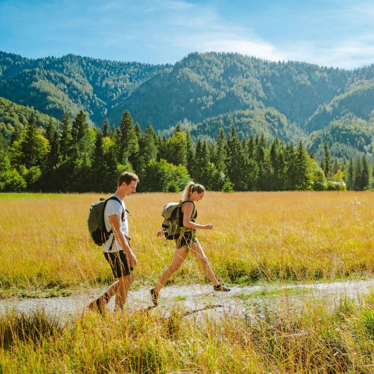
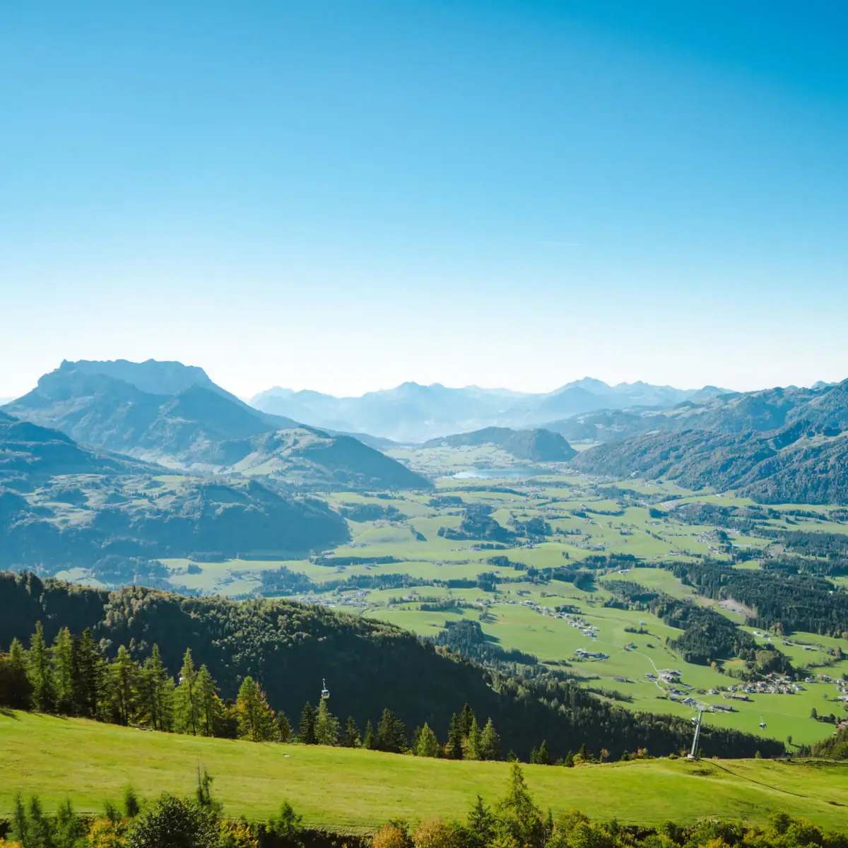
Nature is at its most beautiful around Ruhpolding - with majestic peaks, green alpine meadows and clear mountain lakes. Experience the Bavarian Alps up close on the numerous hiking trails: the scent of fresh herbs fills the air, cowbells ring through the valleys and a new favourite view awaits around every bend. Whether it's a leisurely stroll or a sporty summit tour - in Ruhpolding you'll find exactly the trail that makes you happy.
The best hiking tours
in and around Ruhpolding
Hiking tip 1:
Leisurely around the valley
The leisurely 9.7-kilometre circular route starts at Egglbrücke and leads past a marble quarry, which has been awarded the "Bavaria's most beautiful geotopes" seal of approval. This hike is mostly on a flat path with hardly any incline and takes around 3 hours.
- Length: 9.7 kilometres - circular route
- Walking time: 2 hours 50 minutes
- Difficulty: Walk with hardly any incline, flat path
- Starting point: Egglbrücke bridge
- Hikers' car park: available
- Special feature: The marble quarry with the seal of approval "Bavaria's most beautiful geotopes"
Hiking tip 2:
Summit tourto the Unternberg
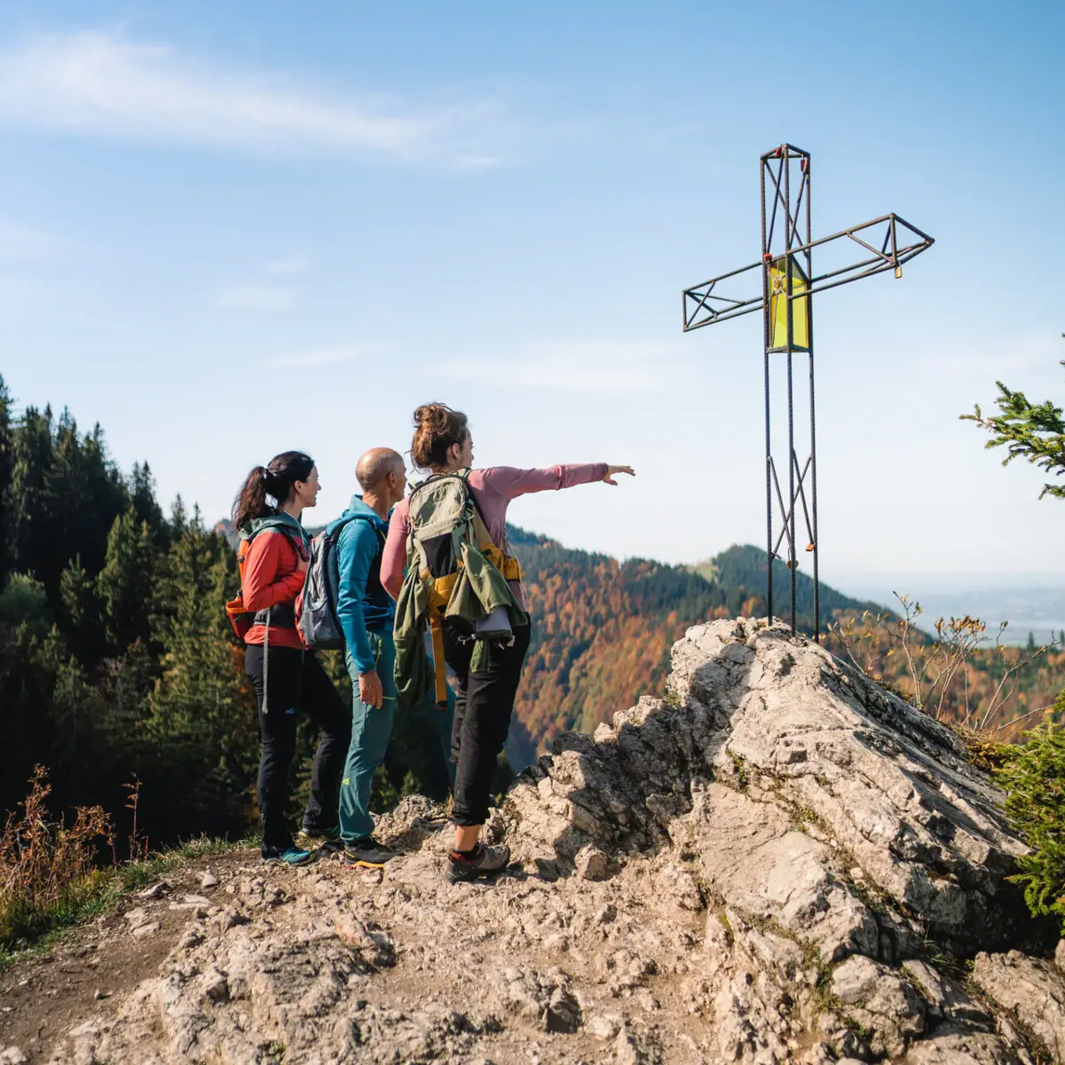
The mountain tour up the Unternberg starts at the Unternbergbahn hiking car park and leads over long climbs to the summit. Once you reach the summit, you can enjoy a fantastic view over the Bavarian Alps before heading back towards the hikers' car park.
- Length: 10.6 kilometres - outward & return journey
- Walking time: 4 hours 30 minutes
- Difficulty: Mountain tour, long climbs
- Starting point: Unternbergbahn car park
- Hikers' car park: available
- Special feature: There is a wayside shrine (Marterl) at the summit of the Unternberg
Hiking tip 3:
The fairytale hike
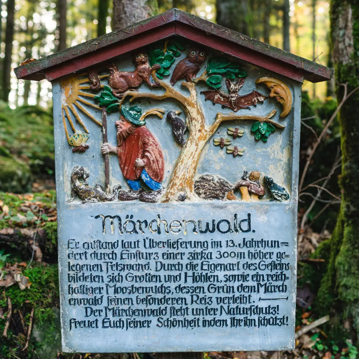
A hike for the whole family! The circular trail leads through a mystical fairytale forest in around an hour, crossing many small footbridges that lead to exciting, magical places such as an enchanted grotto of happiness or an old bear's den.
- Length: 3.9 kilometres - circular route
- Walking time: 1 hour 10 minutes
- Difficulty: walking trail, hardly any incline
- Starting point: Staudigelhütte in Vorderbrand
- Hikers' car park: available
- Special feature: Amusement park with over 60 attractions and fairytale forest is particularly suitable for families
- Restaurant open daily: 18:00-21:30
Hiking tip 4:
Valley hike along the crystal-clear Traun river
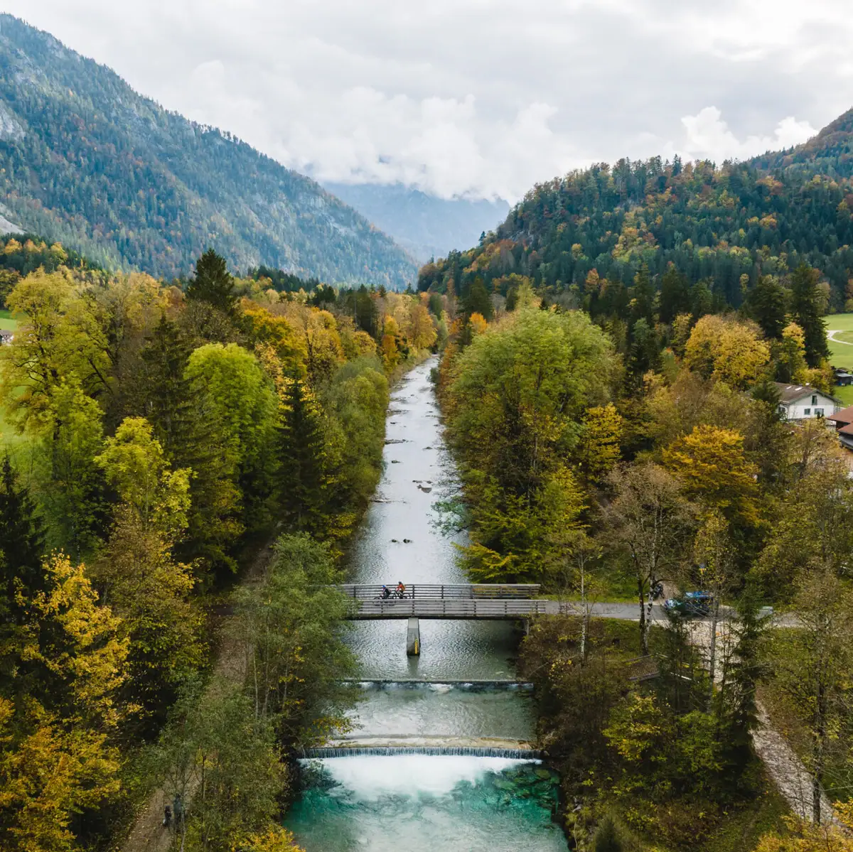
This leisurely 5.6-kilometre walk runs along the crystal-clear Traun river. The circular route leads past the 18-hole golf course, from where you can enjoy a marvellous view over the Miesenbach valley and the landing site for hang-gliders from the Rauschberg.
- Length: 5.6 kilometres - circular route
- Walking time: 1 hour 25 minutes
- Difficulty: Walk without incline, flat path
- Starting point: Ruhpolding car park
- Hikers' car park: available
- Special feature: View over the Miesenbach valley and the landing site for hang-gliders from the Rauschberg








-400x400.webp)
