Hiking around Lake Achensee:
What you need to know
Your walks take you into the Rofan Mountains or the Karwendel Nature Park, Austria’s largest nature park. Two cable cars make the ascent easy: the Karwendel Cable Car in Pertisau and the Rofan Cable Car in Maurach. And after a boat trip on the lake, the ferry takes you back in comfort.
With the AchenseeCard, you can travel free of charge on the Regiobus to the starting point. The best way to plan your route is using the interactive tour planner at maps.achensee.com. There you’ll find trails, mountain huts and bus connections.
Walks right by the lake
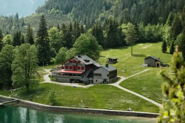
Gaisalmsteig
The classic route around Lake Achensee: from Pertisau via the Gaisalm to Achenkirch. The path runs along the western shore, where there are no roads. Parts of the path are carved into the rock, and there are steps and narrow sections. So you’ll need good shoes and a sure footing. After about one and a quarter to one and a half hours, you’ll reach the Gaisalm at 938 metres. It’s situated right by the water and can only be reached on foot or by boat. From there, you can continue on to Achenkirch or take the boat back.
- Start: Pertisau, Achensee boat service car park
- Destination: Achenkirch
- Elevation gain: 230 metres
- Walking time: approx. 3 hours
- Difficulty: moderate
- Return journey: by boat
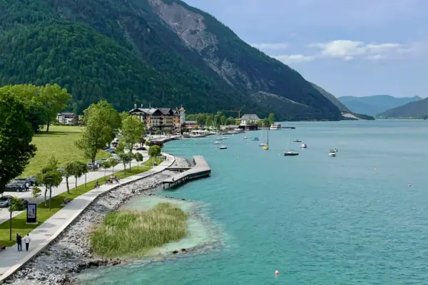
Around Lake Achensee
Fancy a trip round Tyrol’s largest lake? You can. The circuit starting from Pertisau is 22.2 kilometres long, but has an elevation gain of just 120 metres. Its length makes it a day trip.
Our tip: Run just part of the route and hop on a boat at a jetty.
- Start and finish: Pertisau, lakeside promenade
- Distance: 22.2 km
- Elevation gain: 120 metres
- Walking time: approx. 5.5 hours
- Difficulty: moderate
Summit hikes in the Karwendel
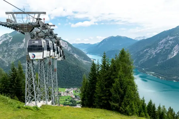
Bear's Head
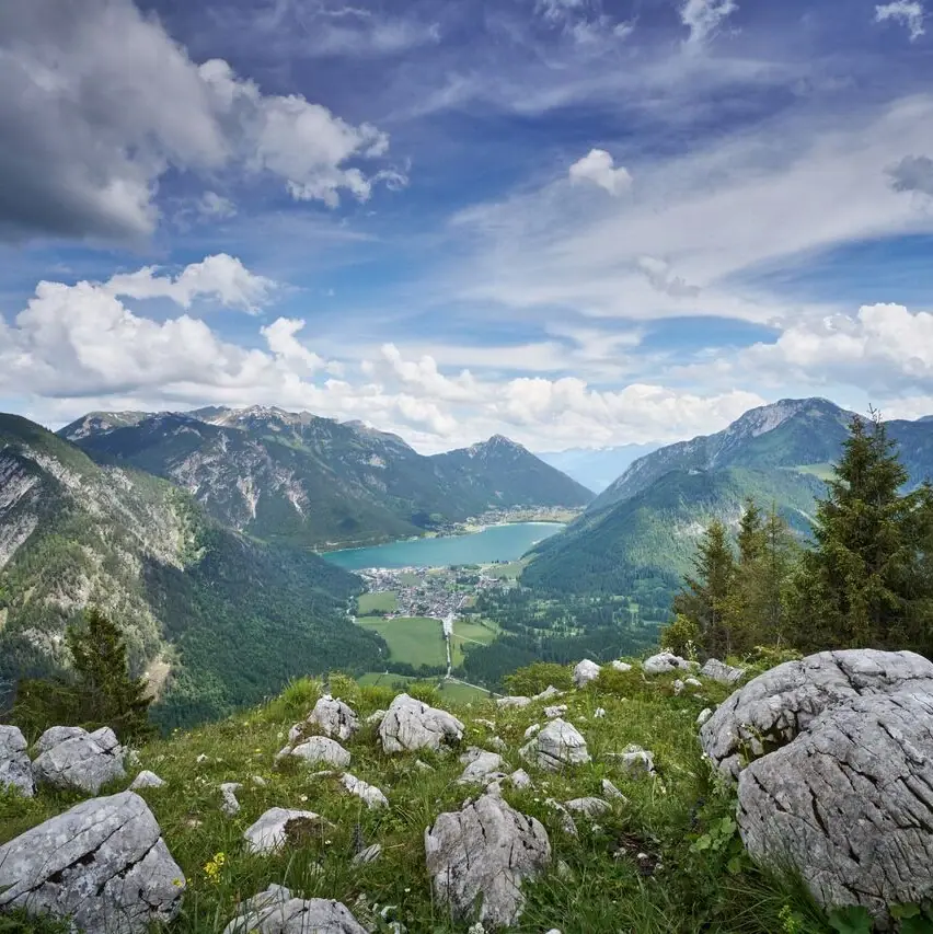
The Bärenkopf is 1,991 metres high, and from the top, Lake Achensee lies at your feet. The Karwendel cable car takes care of most of the ascent. From the mountain station at Zwölferkopf, you hike via the Bärenbadalm to the summit. If you walk the whole way from Pertisau, the elevation gain is a good 1,000 metres.
- Start and finish: Karwendel Cable Car mountain station (approx. 1,500 m)
- Distance: 6.4 km
- Elevation gain: 590
- Walking time: approx. 3.5 hours
- Difficulty: moderate
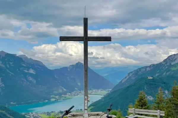
Feilkopf
Fancy some great views without having to hike all the way to the top? At 1,562 metres, the Feilkopf is the lowest mountain offering panoramic views around Lake Achensee. The view across the lake is still really good, though. A forest track leads you up, and on the way you’ll pass the Feilalm at 1,380 metres.
- Start and finish: Pertisau, Karwendeltäler car park
- Distance: 16.6 km (circular route)
- Elevation gain: 585 metres
- Walking time: approx. 4 hours
- Difficulty: moderate
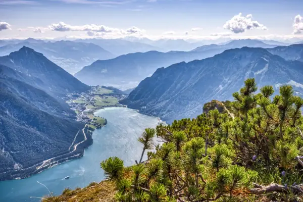
Seebergspitze
The Seebergspitze is 2,085 metres high and forms the western boundary of Lake Achensee. The route leads from Pertisau through woodland and mountain pine fields, finishing with a ridge walk. Expect to climb more than 1,100 metres in altitude. This route is only suitable for experienced mountain walkers with good stamina.
- Start and finish: Pertisau, Achensee Boat Service car park
- Distance: 10.3 km
- Elevation gain: 1,140 metres
- Walking time: approx. 6.5 hours
- Difficulty: difficult
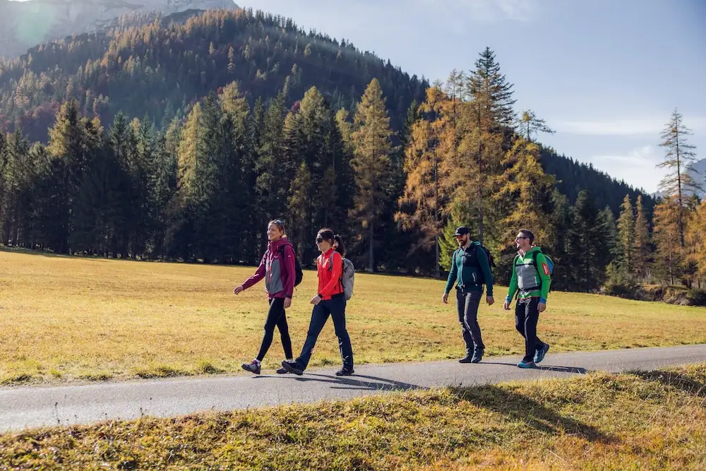
Alpine hike to the Falzthurntal valley:
To the Gramai Alm
Fancy a long but technically easy hike? Then head for the Falzthurntal valley. From Pertisau, you’ll walk along wide paths to the Gramai Alm at 1,263 metres at the head of the valley. Due to its length, the tourist board classifies the route as moderately difficult. If you’ve still got energy to spare, carry on up to the Gramai Hochleger at 1,756 metres. That’s another 490 metres of elevation gain from the alpine pasture and takes about three hours there and back.
- Start and finish: Pertisau, Karwendeltäler car park
- Distance: 14.1 km
- Elevation gain: 290 metres
- Walking time: approx. 4.5 hours
Image: © Achensee Tourism
Hiking in the Rofan Mountains
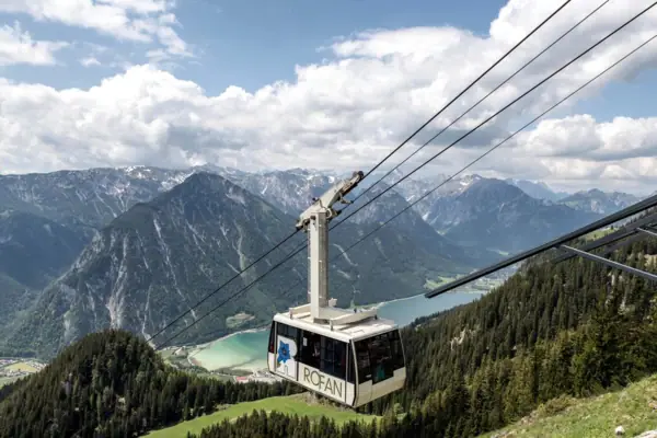
Erfurter Hütte, Adlerhorst and Hochiss
The Rofan cable car takes you from Maurach up to 1,840 metres. Right next to it is the Erfurter Hütte, which is open in summer from Whitsun until mid-October. From here, you have a choice:
- Gschöllkopf with the Adlerhorst (2,039 m): about 30 minutes to the 360-degree viewing platform.
- Hochiss (2,299 m): the highest peak in the Rofan range, about 1.5 to 2 hours from the hut.
- Rofanspitze (2,259 m): about 1 hour 45 minutes from the hut.
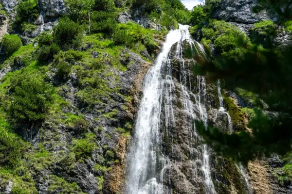
Dalfazer Waterfall and Dalfazalm
This walk starts at the Achensee Atoll in Maurach. You’ll walk past the Dalfazer Waterfall and up to the Dalfazalm at 1,693 metres. Along the way, there’s a viewing platform right by the waterfall.
- Start and finish: Maurach, Achensee Atoll
- Distance: 9.2 km
- Elevation gain: 760 metres
- Walking time: approx. 4 hours
- Difficulty: moderate
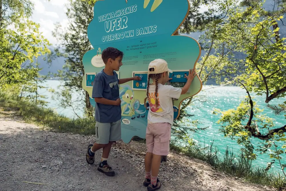
Hiking around Lake Achensee
with children
Short legs, big curiosity?
These routes are a good fit:
Wusel-Seeweg: 3.8 kilometres along the eastern bank, with almost no change in elevation, featuring play and puzzle stations.
Alpine Animals Circular Walk: Starts at the top station of the Karwendel Cable Car, 3.2 km long, with interactive displays about animals.
Weather Circular Walk: Half an hour’s walk to the Zwölferkopf, where five information boards explain the weather.
Gramai Alm: Wide paths with no steep sections – just bear in mind the distance.
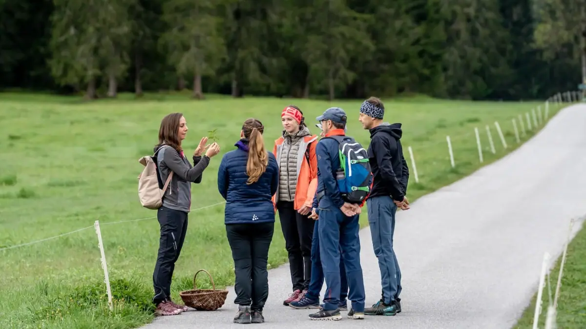
Achensee Nature Trail: Here, you can discover the region’s flora and fauna using an interactive web app.
Image: © Achensee Tourism
Further topics on
hiking trails at Lake Achensee
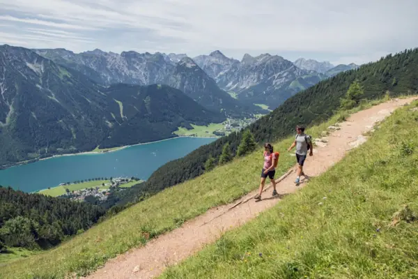
Long-distance walking: the Adlerweg
The Adlerweg is one of Tyrol’s best-known long-distance walking routes: 33 stages, 413 kilometres. Three of these pass through the Achensee region. The Erfurter Hütte in the Rofan Mountains is the destination of the 7th stage and the starting point of the 8th stage.
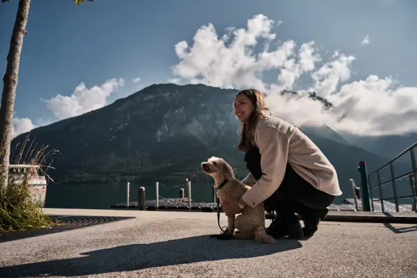
Hiking with your dog at Lake Achensee
Your dog is, of course, welcome to come along on your trip. Achensee Tourism asks that you keep your dog on a lead and stay on the paths. This helps to ensure that the natural environment remains a peaceful place for both animals and people. You can find more tips here:
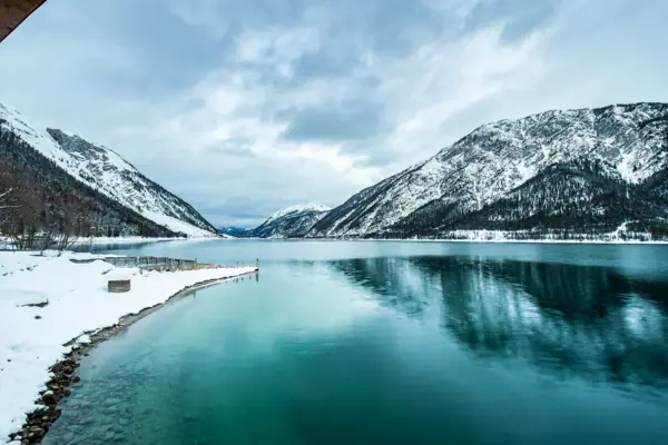
Winter walking
Achensee is well worth a visit even in the snow. The winter walk through the Falzthurntal valley to the Gramai Alm is easy, but 14.1 kilometres long. From the Zwölferkopf, an easy winter walking trail leads down to Pertisau – it’s even suitable for pushchairs. You can find all our winter tips here: